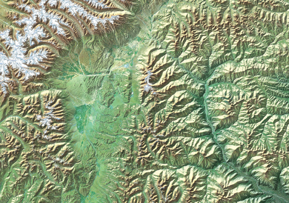
Shaded Relief Maps
Map Illustrations can compliment your base artwork with a wide range of shaded mountain relief images. All images can be projected and scaled to your base artwork for quick and easy placement. Coloration can be adjusted to any number of palettes, lighting adjusted to any angle, and additional artwork or satellite imagery can be overlaid onto the shaded relief image. All image files are created in PhotoShop and can be saved any format with TIFF, BMP, JPEG and GIF being the most requested formats.


Copyright Map Illustrations