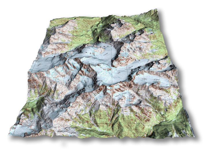
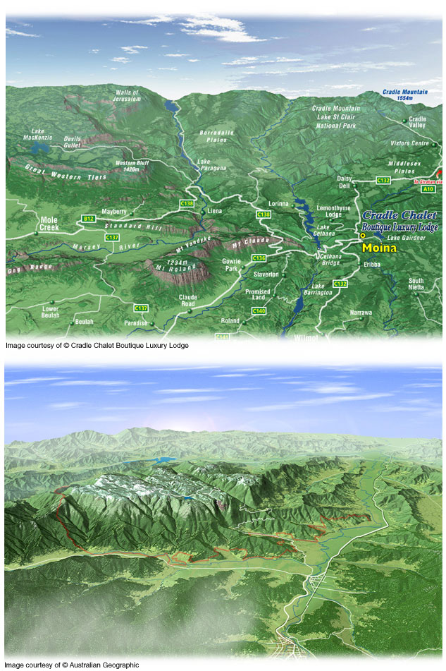
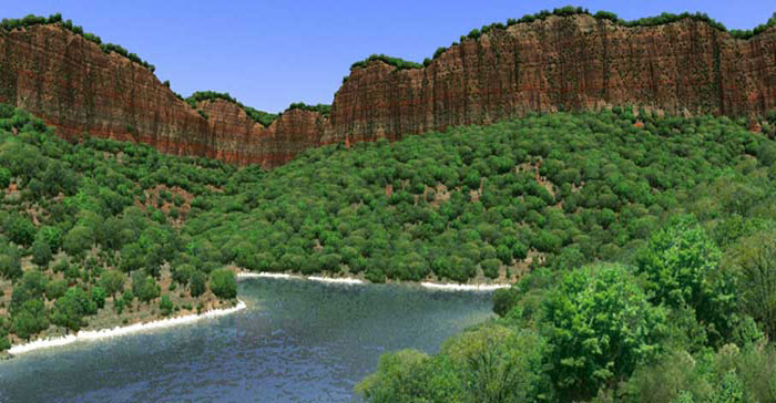
Digital Terrains
Map Illustrations offers a wide range of cartographic services. Digitally created and personally designed to meet your needs, our maps can add value to your publication. All our maps are created from the latest digital data and are designed not only to please the eye but are cartographically correct in every detail. Where possible, all maps are created from public domain data and carry no copyright encumbrances with the exception of third party data licence agreements.
Copyright Map Illustrations